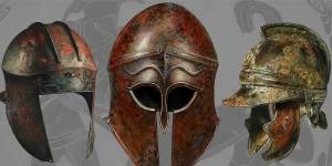
In the picturesque town of Roorkee, renowned for its cultural heritage and skilled artisans, Jafri Survey Instruments shines as a leading producer of ...
Read More
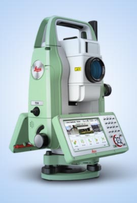
Spherical Crown Densiometer in Roorkee
Greetings and welcome to Jafri Survey Instruments, your gateway to precision in the realm of survey instruments. We take pride in our commitment to excellence and cutting-edge technology that sets us apart in the industry. Our Spherical Crown Densiometer in Roorkee is designed to cater to diverse professional needs, ensuring accuracy and reliability in every application. Explore the world of Jafri Survey Instruments, where innovation meets precision to redefine the standards of surveying.
At the heart of our offerings is the cutting-edge technology embedded in our instruments. Whether you are in environmental research, forestry management, or material testing, Jafri Survey Instruments is your trusted partner for precision instrumentation. Our dedication to meeting the evolving needs of professionals has made us a renowned name in the field. Let's delve into the specifics of our flagship products.
- Advanced Measurement Technology: Our Spherical Crown Densiometer integrates advanced technology to provide accurate measurements of vegetation density. This feature is invaluable for researchers and environmentalists, facilitating informed decision-making.
- Robust Construction: Built with durability in mind, our densiometer is designed to withstand the rigors of fieldwork. Its robust construction ensures longevity and consistent performance even in challenging environmental conditions.
- User-Friendly Interface: We understand the importance of simplicity in data collection. Our densiometer features a user-friendly interface, making it accessible to professionals of all levels. The intuitive design ensures seamless operation in the field.
- Versatile Applications: From forestry management to environmental research, our Spherical Crown Densiometer caters to a wide range of applications. Its versatility makes it an indispensable tool for professionals across various fields.
- Accurate Results: Precision is our priority. The Spherical Crown Densiometer from Jafri Survey Instruments delivers accurate results, providing researchers with reliable data crucial for making informed decisions and contributing to sustainable environmental practices.
Experience the precision and reliability that our Spherical Crown Densiometers bring to your research endeavors. Experience the reliability and expertise that professionals rely on for their surveying needs as well as for their everyday applications.
Spherical Crown Densiometer Manufacturers in Roorkee
Our company, situated in Roorkee, proudly holds the mantle of being the premier manufacturer of Spherical Crown Densiometers, setting a benchmark for quality and innovation in the industry. Renowned as one of the leading Spherical Crown Densiometer Manufacturers in Roorkee for our unwavering commitment to excellence, we stand as a beacon of reliability and precision. Our Spherical Crown Densiometers are crafted with meticulous attention to detail, ensuring accuracy and durability in every unit. Leveraging cutting-edge technology and years of expertise, we consistently exceed expectations, catering to the diverse needs of our esteemed clientele.
- Customization Options: Recognizing that different projects have unique requirements, we offer customization options for our Spherical Crown Densiometer. Tailor the instrument to your specific needs, ensuring optimal performance for your projects.
- Comprehensive Support: When you choose Jafri Survey Instruments, you become a valued partner. Our commitment to customer satisfaction extends beyond the purchase. Benefit from comprehensive support, ensuring a seamless integration of our products into your projects.
- Stringent Quality Control: Our manufacturing process adheres to the highest industry standards. Stringent quality control measures are in place to ensure that every Spherical Crown Densiometer leaving our facility meets the expectations of even the most discerning professionals.
- Competitive Pricing: We believe in providing top-notch quality at reasonable prices. Our competitive pricing makes our densiometer accessible to a wide range of professionals and organizations, without compromising on quality.
- Global Recognition: Jafri Survey Instruments has earned global recognition as a trusted manufacturer of precision instruments. Our commitment to excellence has positioned us as leaders in the industry, serving clients not only in Roorkee but around the world.
Choosing us as your finest Spherical Crown Densiometer Manufacturer is a strategic decision that aligns with your commitment to quality and precision. Join the ranks of satisfied professionals who have experienced the difference of working with industry leaders.
Compression Testing Machine Wholesale Supplier in India
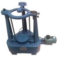
Our machines stand out as the ideal choice for material testing and construction requirements, boasting unparalleled benefits and features. Beyond our proficiency in densiometers, our company proudly emerges as a prominent Compression Testing Machine Wholesale Supplier in India. Designed with precision and durability in mind, our Compression Testing Machines ensure accurate and reliable results. From robust construction to advanced technology integration, we prioritize excellence to meet the diverse demands of our clients. Elevate the standards of material testing in the construction industry with our testing machines.
- Diverse Range of Models: Our catalog features a variety of compression testing machine models, catering to different testing requirements. Whether you're conducting standard concrete tests or specialized material analysis, we have the right machine for your needs.
- Precision in Testing: Precision is paramount in compression testing. Our machines are engineered to provide accurate and reliable results, ensuring that your experiments and analyses are based on solid data.
- Built for Durability: Construction and material testing often involve heavy use. Our compression testing machines are built with durability in mind, ensuring a robust performance that withstands the demands of rigorous testing environments.
- User-Friendly Design: Operating our compression testing machines are designed to be user-friendly. Whether you're a seasoned professional or a novice in the field, you can confidently conduct tests with ease.
- Compliance with International Standards: Jafri Survey Instruments manufactures compression testing machines that adhere to international testing standards. This commitment to quality ensures that your results not only meet but exceed industry benchmarks.
Choosing our company as one of the premium Compression Testing Machine Wholesale Suppliers is a strategic decision for your business. Experience the reliability, precision, and durability that our machines bring to your testing processes.
We invite you to explore a world where precision meets innovation. Whether you are in need of a Spherical Crown Densiometer for environmental research or a Compression Testing Machine for material analysis, we are your trusted partner in precision instrumentation. Join the ranks of professionals who choose Jafri Survey Instruments for their survey instrument needs and experience the difference that precision can make in your projects.


Antique Products
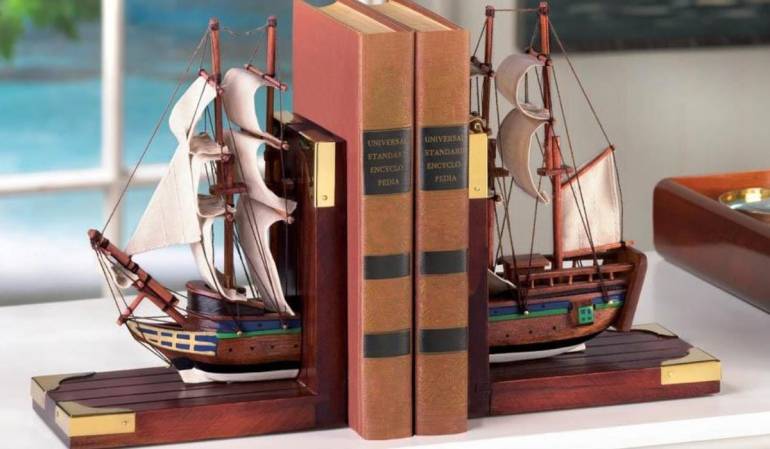
Against the backdrop of Roorkee's vibrant atmosphere, Jafri Survey Instruments dedicates itself to producing a diverse range of masterpieces, encapsulating the very essence of traditional craftsmanship. Nestled amidst the historical charm of Roorkee, our company emerges as a distinguished purveyor of artistry, specializing in crafting exquisite Antique Products in Roorkee. With a legacy deeply rooted in tradition and spanning generations, our company has become synonymous with the creation of timeless pieces that reflect the rich artistic tapestry of India.
Read MorePrismatic Compass
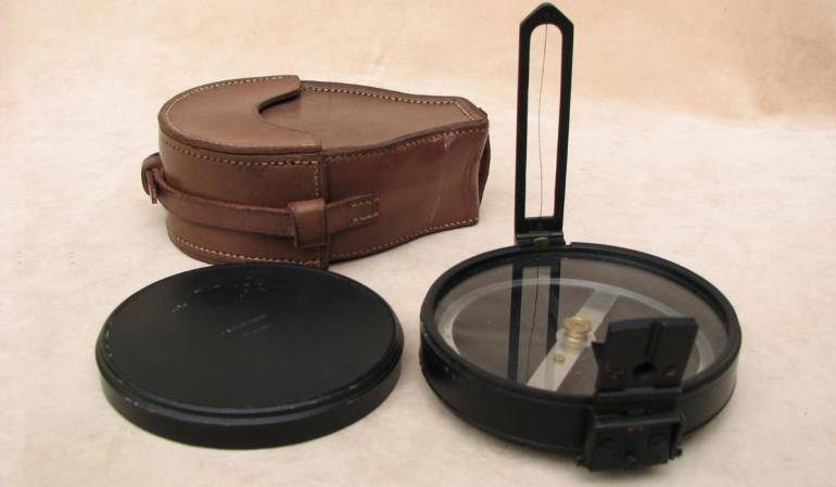
Situated in the historic town of Roorkee, Jafri Survey Instruments stands as a beacon of precision and excellence in the field of survey instruments. With a legacy rooted in craftsmanship and innovation, the company has emerged as a leading provider of Prismatic Compass in Roorkee, embodying the essence of India's technical expertise. Roorkee's rich cultural tapestry, combined with the relentless commitment of our company, gives rise to a diverse range of prismatic compasses, each representing a harmonious blend of tradition and cutting-edge technology.
Read More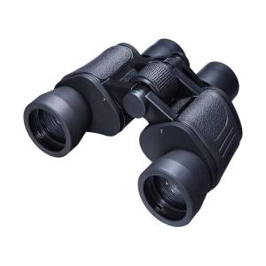
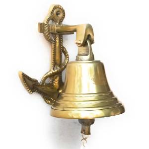
With a legacy that spans generations, Jafri Survey Instruments has become synonymous with the meticulous craftsmanship that defines the cultural herit...
Read MoreNautical Bell
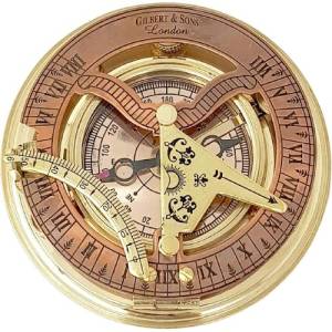
With a legacy deeply rooted in the rich artistic traditions of India, Jafri Survey Instruments has become a symbol of craftsmanship that spans generat...
Read MoreNautical Compass
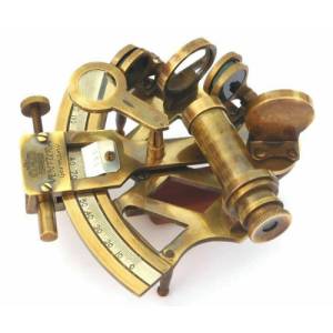
Nestled in the cultural haven of Roorkee, Jafri Survey Instruments emerges as a distinguished purveyor of precision craftsmanship. Carrying forward a ...
Read MoreNautical Sextant
Explore stunning landscapes, intricate machinery, and precise measurements in our Photo Gallery. Witness the expertise of Jafri Survey Instruments showcased through captivating imagery. Experience the precision behind our cutting-edge surveying technology.
Stay informed and inspired with our Latest Blogs. Dive into insightful articles covering industry trends, tips, and updates. Discover valuable resources to enhance your surveying knowledge and expertise.
5 Valuable Roles Of Geomax Total Station In Modern Surveying
In the realm of modern surveying, technological advancements have revolutionized the way professiona....
Read More5 Remarkable Ways To Showcase The Cultural Significance Of Armor Helmets
Armor helmets hold a profound cultural significance, transcending time and borders. These symbols of....
Read MoreDiscover what our satisfied clients have to say about their experiences with Jafri Survey Instruments in our Testimonial Section. Read firsthand accounts of excellence and satisfaction.


